
Olsztyn, Poland

Geodesy and Cartography

Geodezja i kartografia

Master's
Table of contents
Geodesy and Cartography study

⇑Geodesy and Cartography at UWM

Language: PolishStudies in Polish
Subject area: engineering and engineering trades
Kind of studies: full-time studies, part-time studies
  • Description:

  • pl

⇑Why study Geodesy and Cartography (Master's) at UWM in Olsztyn?

Dlaczego warto studiować na UWM w Olsztynie
Why study it:

Geodesy and Cartography is a three-semester full-time Master's programme at the University of Warmia and Mazury in Olsztyn, taught in English as the Geodesy and Geoinformatics range. It is for graduates of a first-cycle degree who want to go deeper into satellite surveying, laser scanning and spatial data.

Programme: from satellite surveying to spatial data

The range gives you extensive knowledge of geodesy and cartography, with special emphasis on the latest technologies for gathering and processing data from remote sensing. The first semester covers advanced satellite remote sensing, satellite survey techniques, geodynamics, physical geodesy and gravimetry, and the geodetic determination of displacements. In the second semester you move on to GNSS data processing and applications, satellite navigation, airborne and terrestrial laser scanning, GIS programming and geovisualisation. Facultative courses leave room to plan part of your own programme.

The final semester brings bathymetric surveys, geospatial artificial intelligence, spatial data infrastructure and unmanned aerial vehicles, together with the MA seminar and the Master's thesis.

Labs: instruments you work with

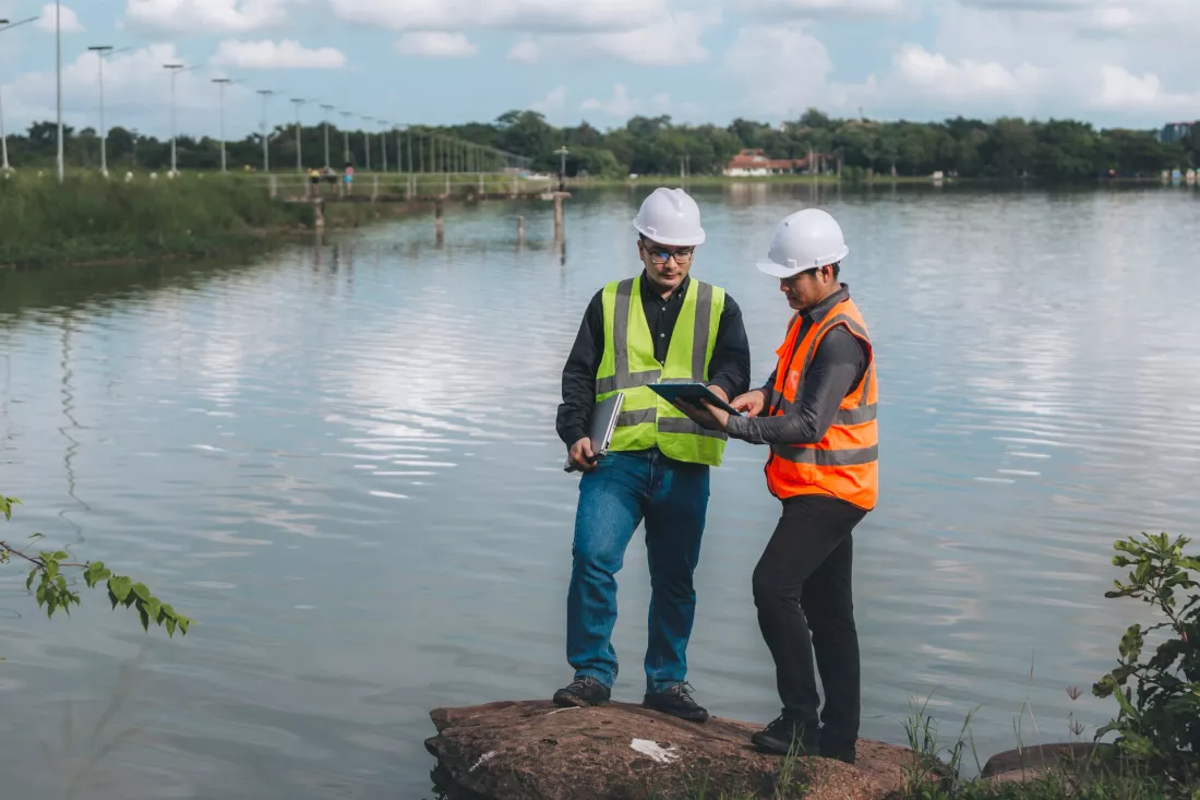
During the studies you use specialist equipment, including:

  • drones and laser scanners
  • depth sounders for water surveys
  • virtual reality glasses
  • ground-penetrating radars

Placements: professional practice

Professional practice is part of the programme and, once you have completed it, it opens the way to the state examination for a surveying licence.

Qualifications: what the licence covers

With the licence you can run independent activity in areas such as:

  • situational and height measurements, implementation and inventory surveys
  • demarcation and division of real estate, with documentation for legal purposes
  • surveying management of investments
  • map editing
  • photogrammetry and remote sensing

After graduation: careers and further study

Graduates are prepared for work in surveying, cartographic and geoinformatic companies, in research institutions and development centres, and in central and local administration. The studies also prepare you for further education, as they give you the right to apply for a doctoral degree and for postgraduate studies.

Based on the programme pages at uwm.edu.pl.
⇑Test: check whether Geodesy and Cartography is the right major for you!

Geodezja i kartografia test

Answer all questions to see if Geodesy and Cartography (Master's) is the right fit for you!

1. Are you eager to deepen your knowledge in spatial data acquisition and precise geodetic measurements?

2. Do you want to work with GIS, mapping systems, and geospatial data visualization?

3. Are you interested in remote sensing, aerial/satellite data, and integrating these into cartographic products?

4. Are you willing to engage in research or projects involving GNSS, deformation analysis, or terrain modeling?

5. Do you believe that a two-year master’s degree will significantly improve your ability to manage and interpret complex geospatial projects?

6. Are you interested in geodetic data quality, uncertainty estimation, and ensuring reliability of spatial products?

7. Do you want to develop skills in integrating geodesy/cartography with environmental planning, infrastructure development, or urban management?

8. Are you prepared to work collaboratively with surveyors, engineers, computer scientists, and policy makers?

9. Are you interested in emerging technologies like 3D geospatial modeling, LiDAR, or digital twins of terrain?

10. What motivates you most to pursue a master’s in Geodesy and Cartography?

⇑Definitions and quotes

Cartography
Cartography (; from Greek χάρτης chartēs, "papyrus, sheet of paper, map"; and γράφειν graphein, "write") is the study and practice of making maps. Combining science, aesthetics, and technique, cartography builds on the premise that reality can be modeled in ways that communicate spatial information effectively.

Contact:

ul. Michała Oczapowskiego 2
10-719 Olsztyn
tel: +48 89 523 49 13
StudentNews Group Websites for students and future students — in Poland since 2007, across Europe since 2014. Over 50 websites and millions of users a year (Google Analytics). Studies in Europe Universities in Europe Bachelor’s Master’s Doctorate MBA Study guide Work abroad Travel For partners Advertising and cooperation Reach (online report) Contact advertising@studentnews.eu © 2003–2026 Grupa StudentNews.pl sp. z o.o., Modlnica, Poland
Privacy Policy