Why It's Worth It:
⇑Modern Educational Standards in Geomatics
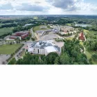
The Master’s degree program in Geodesy and Cartography at the University of Warmia and Mazury in Olsztyn (UWM) represents a high-level educational path for those aiming to excel in the geospatial industry. Conducted entirely in English, the program is tailored to meet international standards, providing students with a global perspective on land surveying and spatial data management. This English-language track fosters a unique academic environment where students from various backgrounds collaborate, enhancing their professional communication skills and technical vocabulary essential in today’s international job market.
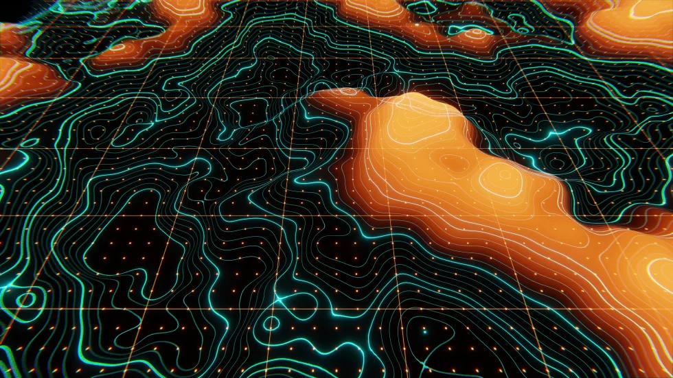
A core strength of the curriculum at UWM lies in its deep integration of geoinformatics with traditional surveying. Students gain expert knowledge in spatial information systems, focusing on advanced GIS modeling, database design, and the creation of specialized geoprocessing algorithms. This expertise allows future graduates to handle complex spatial data sets, making them indispensable in sectors requiring precise mapping, urban planning, and environmental monitoring through sophisticated digital tools and mobile applications.
⇑Cutting-edge Satellite and Remote Sensing Technologies
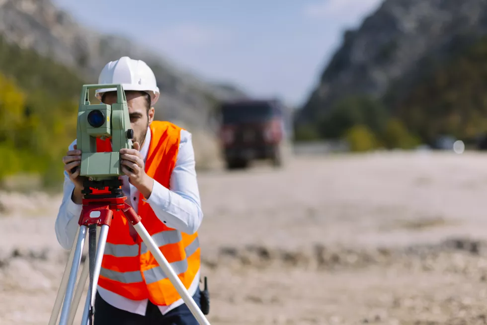
The program places a significant emphasis on the latest advancements in satellite geodesy and remote sensing. Participants explore the intricacies of GNSS measurements, satellite imagery analysis, and the use of unmanned aerial vehicles (UAVs) for high-precision data acquisition. By mastering these modern techniques, students learn how to conduct numerical processing and visualization of geodetic data, ensuring they remain at the forefront of technological innovation in the field of cartography and Earth observation.
⇑Specialized Summer Schools and Practical Training
University of Warmia and Mazury distinguishes itself by offering unique practical opportunities, such as specialized summer schools. these intensive modules provide hands-on experience in niche areas like bathymetric surveying, ground-penetrating radar (GPR) techniques, and cloud-based GIS solutions. Such practical exposure ensures that students are not only theoretically sound but also proficient in operating advanced measurement equipment and specialized software used by leading engineering firms worldwide.
⇑Flexible and Individualized Study Paths
The three-semester Master's program is designed to allow students a degree of flexibility in shaping their educational journey. Beyond the mandatory core subjects, a wide range of elective courses is available, enabling participants to focus on specific interests such as real estate cadastre, physical geodesy, or advanced photogrammetry. This individualized approach ensures that each student can develop a specialized profile that aligns with their specific career aspirations and the requirements of their future employers.
⇑Global Career Prospects in Engineering
Graduates of Geodesy and Cartography are exceptionally well-prepared for diverse roles in the international labor market. Their skills are highly sought after by geoinformatic corporations, surveying enterprises, and research development centers across the globe. Additionally, the comprehensive training enables them to find rewarding positions in government administration, environmental agencies, and construction companies, where expertise in precise spatial analysis and technical documentation is fundamental to project success.
⇑Pathway to Professional Licensing and Leadership
Completing this advanced degree at UWM provides a solid foundation for obtaining professional licenses in geodesy and cartography. The program equips students with the necessary legal and technical background to perform independent functions in the field and manage complex engineering projects. With a focus on leadership and innovative problem-solving, graduates emerge as highly qualified experts ready to steer teams and implement modern geodetic solutions in both the public and private sectors.