Gdańsk, Poland

Geodesy and Cartography

Geodezja i kartografia

Bachelor's
Table of contents
Geodesy and Cartography study

Geodesy and Cartography at PG

Language: PolishStudies in Polish
Subject area: engineering and engineering trades
Kind of studies: full-time studies, part-time studies

Test: check whether Geodesy and Cartography is the right major for you!

Geodezja i kartografia test

Find out if Geodesy and Cartography is the right major for you!

1. Are you interested in measuring and representing the Earth's surface accurately?

2. Do you enjoy working with geographic information systems (GIS), spatial data, and visualization?

3. Are you comfortable using math (geometry, trigonometry, coordinate transformations) in practical problem solving?

4. Do you like fieldwork—going outdoors to collect data using instruments like GPS, total stations, or remote sensors?

5. Are you interested in remote sensing and using aerial or satellite imagery to understand landscapes?

6. Do you pay attention to detail and care about data accuracy, error analysis, and correcting measurements?

7. Are you interested in combining geospatial data with engineering, urban planning, or environmental applications?

8. Do you enjoy learning new tools and technologies as mapping and geospatial methods evolve?

9. Are you comfortable communicating spatial information to others (reports, maps, presentations)?

10. Do you like solving geographic problems that affect infrastructure, land use, or environmental monitoring?

Definitions and quotes

Cartography
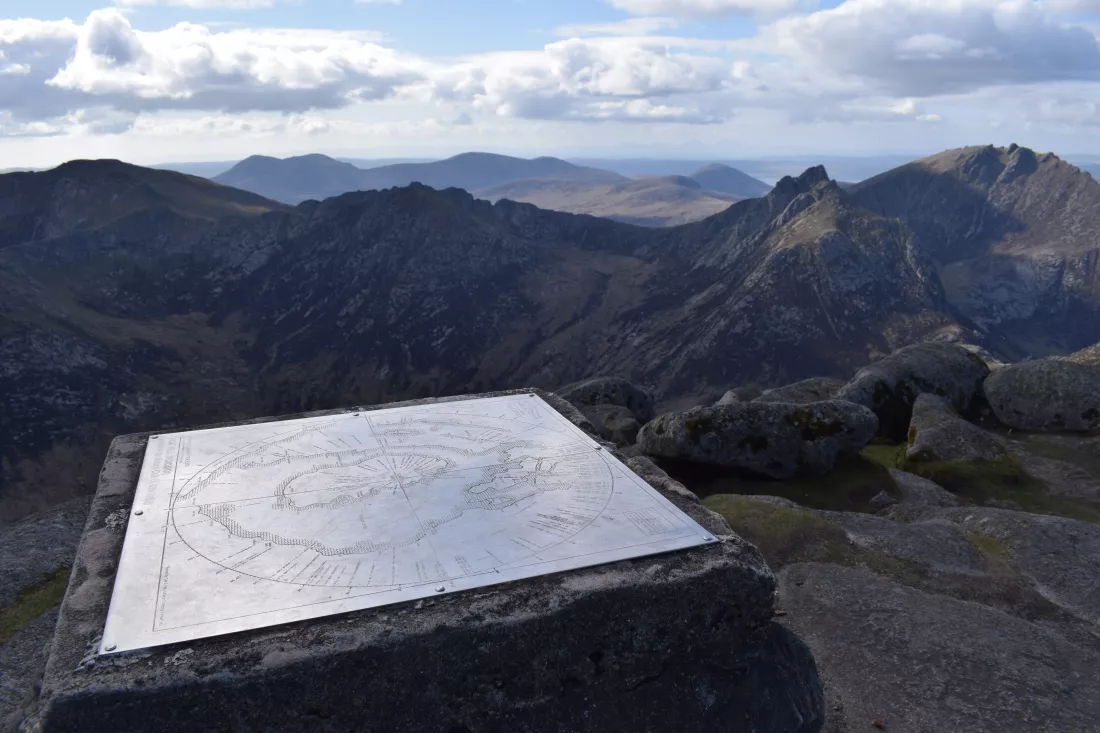
Cartography (; from Greek χάρτης chartēs, "papyrus, sheet of paper, map"; and γράφειν graphein, "write") is the study and practice of making maps. Combining science, aesthetics, and technique, cartography builds on the premise that reality can be modeled in ways that communicate spatial information effectively.
Privacy Policy